Alteryx Designer Desktop Ideas
Share your Designer Desktop product ideas - we're listening!Submitting an Idea?
Be sure to review our Idea Submission Guidelines for more information!
Submission Guidelines- Community
- :
- Community
- :
- Participate
- :
- Ideas
- :
- Designer Desktop: Top Ideas
Featured Ideas
Hello,
After used the new "Image Recognition Tool" a few days, I think you could improve it :
> by adding the dimensional constraints in front of each of the pre-trained models,
> by adding a true tool to divide the training data correctly (in order to have an equivalent number of images for each of the labels)
> at least, allow the tool to use black & white images (I wanted to test it on the MNIST, but the tool tells me that it necessarily needs RGB images) ?
Question : do you in the future allow the user to choose between CPU or GPU usage ?
In any case, thank you again for this new tool, it is certainly perfectible, but very simple to use, and I sincerely think that it will allow a greater number of people to understand the many use cases made possible thanks to image recognition.
Thank you again
Kévin VANCAPPEL (France ;-))
Thank you again.
Kévin VANCAPPEL
I have a PDF of 27 pages and each page is identical. The headers, footers and data are static in positioning on each page. It would be great if I could define the text to parse out on the first page, then that could be used to parse out all of the pages in the PDF. It would make the tool far more useful.
Add an option to cancel an occurrence currently queued to run without it removing, or completing, the original schedule. Not sure if this is by design or a bug but when you cancel a workflow that's in queue, it sets the scheduled workflow to "Completed" even though you just wanted to stop that occurrence and still keep the workflow schedule “Active”.
Also, adding an option to PAUSE a scheduled module. This is useful when you need to temporarily suspend a workflow from running, but save the hassle of re-configuring the schedule when you want to turn it back on.
I have a big need to input files created in a .sqlite format and also write out to files as .sqlite that contain spatial object fields. Currently they are not recognized as spatial objects. BlobConvert is not able to convert the spatial fields from the input correctly (it gets close) so the result is that we are unable to utilize any spatial fields from or to these files.
In the Report Map tool, I'm locked from changing the 'Background Color' menu, and the color appears to be set to R=253, G=254, B=255, which is basically white.
However, when we use our TomTom basemap, we see that the background is actually blue, despite what's listed in the Background Color window. (This goes beyond the 'Ocean' layer, and appears to cover all space 'under' the continents and ocean.) Since we oftren print large maps of the east coast, this tends to use a lot of blue ink. I've attached a sample image to illustrate this.
My solve to-date has been to edit the underlying TeleAtlas text file and change the default background (117 157 181) to white (255 255 255). Unfortunately, we lose these changes with each data update.
Could Alteryx unlock the Background Color menu, and have it affect the 'base' layer, underneath oceans and continents in TomTom maps? Not sure how it might affect aerial imagery.
Please have Alteryx check the status of any output files for read-only or locked status. This change would prevent processing a file for an hour then having the process fail because the file was open or had improper permission.
Idealy, the output tool should ask the user what to do rather than fail and lose all the work.
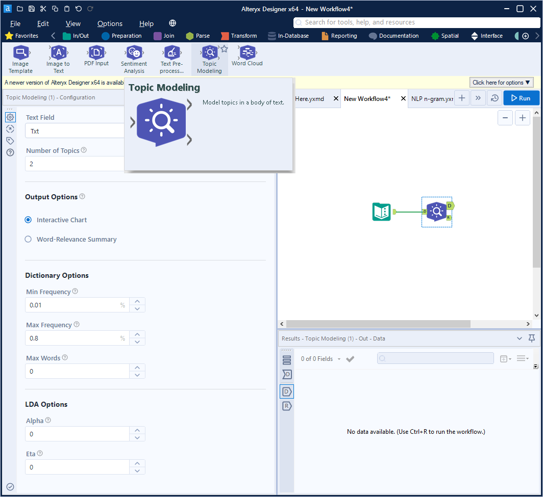
In the new Intelligence Suite tools, it would be extremely useful to have the option to add n-gram (combining words/tokens ) in the Topic Modeling Text Mining Tool.
This is important in many NLP topic modeling scenarios.
It would provide more flexibility to build better NLP models.
For details on n-gram
https://en.wikipedia.org/wiki/N-gram
When you click on 'Open results in a new window' or in when viewing results in the 'Results - Browse' sometimes it would be nice to have a freeze pane feature so you can pin column(s) to the left and scroll to the right.
I run a report generator that can leave you with having to save one at a time several files.

It would be nice to be able to save multiple files at once. Whether using a check box or a shift select method. If this method already exists, Great! Where can I find out how to do it. If not can it be an added feature?
Currently, the map input for an application defaults either to a global view of the United States or to a fixed boundary. Usng a chained application, it would be an extremely useful option to be able to specifiy spatial objects (points, lines, polygons) in the first application and then allow the second application to zoom in appropriately to those spatial objects. This could be done by either specifying a custom zoom level and using those spatial objects as a center through a reference layer, or by allowing the zoom's boundary to contain all the spatial objects (similar to the map reporting tools).
Currently, when a scheduled job is running (and logging is enabled), the log file is locked for use.
Thanks!
Example: State Code = 'MI' and Mosaic Type = 'A01' could be our Criteria. and State Code, Mosaic Type and Gender would be our crosscount fields.
Calgary crosscount (and append) would output (51 * 71 * 4) 14,484 rows (all states * all mosaic types * all gender values)
The desired crosscount would output (1 * 1 * 4) 4 rows (MI * A01 * 4).
This is a simplified example just to demonstrate my confusion when Alteryx responded to me that the tool is working as designed. In order to reduce the crosscount output, you must restate your query criteria in a filter post the calgary tool. If the count of rows output exceeds a thresshold, you can't even use the tool as it will generate too many rows.
By defining criteria in the Calgary Input tool, only the desired output records are generated. But by defining criteria in the Calgary crosscount tools, only the desired "combinations" have values plus it outputs all permutations and combinations of other non-qualifying records.
Please consider this request for an enhancement.
Thanks,
Mark
Would be nice to group workflows and their schedules because it gets confusing if you have a lot of schedules/workflows in the schedule view.
Especially if you have more than one schedule for a workflow.
One way could be to create folder system or to manage it through the meta info like macros.

I have recently been building some reports and have some suggestions for later releases of Alteryx.
1. Map tool – have option to put border around map within the properties window. Currently, I have to use a layout tool to put a border on a map.
2. Map tool – Same thing with legend (especially when legend is output as a separate field
3. All tools – be able to put a browse tool after the tool using the Properties window. I was thinking right above the “Apply” button (check mark bottom left corner)
Just some thoughts that would make life better.
It would be helpful to redirect Help Documentation searches to the latest version number. When Googling problems I often get help page links that are for version 9.5 while I'm on version 11.7. I'll usually change the version number in the URL to get to the right documentation. It would be great if the version <11 documentation would automatically port forward to the current documentation with the option to go to older documentation for users on those versions.
Option to select start and end time per day
e.g. between 8:00 AM and 5:00 PM every 2 hours
I have records of with several address fields per store: address 1, address 2, address 3.(e.g. po box 123, 456 main st, suite 600).
I geocode each address field in different iterations, but I want my final input to contain the best geocoding level. e.g. Actual before Zip9.
Can we rank the geocoding levels like this below? Then it will be easier to filter out the best geocoding level.
https://community.alteryx.com/t5/Data-Sources/Loading-MDF-File/m-p/55264#M3640
It would be great to have the possibility to load .mdf files.
In Powerpoint, you can right-click on a picture and replace it with a different picture without losing formatting.
Similar functionality would be useful for replacing custom macros.
- I would like to be able to switch an old version of a custom macro with a new version in situ, without losing the connections to other tools, interface tools, or location in a container.
Currently, the only option is to insert the new custom macro and then reset all incoming and outgoing connections. Some downstream tools (e.g., crosstab) lose their existing settings and that has to be reset too. On complicated workflows, this can introduce silent errors.
This capability would be especially helpful for team coding, where different team members are revising different modules for a parent workflow.
Currently:
Right-clicking on the canvas shows Insert > Macro > (choose from list of open macros)
Right-clicking on an existing macro shows Open Macro
New functionality:
Right-clicking on an existing macro shows Replace/Change Macro > (choose from list of open macros)
Hello!
I recently had a use-case that needed me to start using the text mining tools for a reporting based workflow, and i had pretty good success. However, my workflow does not always have data being brought through it, and when 0 results are supplied to a Text Pre-processing tool, it produces a bug and log file. I imagine this is a small fix, just a weird one to run into.
Steps to replicate:
1- Add a text input tool with some dummy text values as part of a field

2- Add a text pre-processing tool to the workflow, and configure it to use this field and English.

3- add a filter tool, prior to the text pre-processing tool, to filter out any valid results

4- Run the workflow


As the data cleansing tool does not behave similar, I fully believe this to be an unintended outcome.
We needed to manually change this on our end but it would be nice if in 9.5 this easy upgrade was done already...
- New Idea 209
- Accepting Votes 1,837
- Comments Requested 25
- Under Review 150
- Accepted 55
- Ongoing 7
- Coming Soon 8
- Implemented 473
- Not Planned 123
- Revisit 68
- Partner Dependent 4
- Inactive 674
-
Admin Settings
19 -
AMP Engine
27 -
API
11 -
API SDK
217 -
Category Address
13 -
Category Apps
111 -
Category Behavior Analysis
5 -
Category Calgary
21 -
Category Connectors
239 -
Category Data Investigation
75 -
Category Demographic Analysis
2 -
Category Developer
206 -
Category Documentation
77 -
Category In Database
212 -
Category Input Output
632 -
Category Interface
236 -
Category Join
101 -
Category Machine Learning
3 -
Category Macros
153 -
Category Parse
75 -
Category Predictive
76 -
Category Preparation
384 -
Category Prescriptive
1 -
Category Reporting
198 -
Category Spatial
80 -
Category Text Mining
23 -
Category Time Series
22 -
Category Transform
87 -
Configuration
1 -
Data Connectors
948 -
Desktop Experience
1,493 -
Documentation
64 -
Engine
123 -
Enhancement
276 -
Feature Request
212 -
General
307 -
General Suggestion
4 -
Insights Dataset
2 -
Installation
24 -
Licenses and Activation
15 -
Licensing
10 -
Localization
8 -
Location Intelligence
79 -
Machine Learning
13 -
New Request
177 -
New Tool
32 -
Permissions
1 -
Runtime
28 -
Scheduler
21 -
SDK
10 -
Setup & Configuration
58 -
Tool Improvement
210 -
User Experience Design
165 -
User Settings
73 -
UX
220 -
XML
7
- « Previous
- Next »
- vijayguru on: YXDB SQL Tool to fetch the required data
- apathetichell on: Github support
- Fabrice_P on: Hide/Unhide password button
- cjaneczko on: Adjustable Delay for Control Containers
-
 Watermark
on:
Dynamic Input: Check box to include a field with D...
Watermark
on:
Dynamic Input: Check box to include a field with D...
- aatalai on: cross tab special characters
- KamenRider on: Expand Character Limit of Email Fields to >254
- TimN on: When activate license key, display more informatio...
- simonaubert_bd on: Supporting QVDs
- simonaubert_bd on: In database : documentation for SQL field types ve...