Alteryx Designer Desktop Ideas
Share your Designer Desktop product ideas - we're listening!Submitting an Idea?
Be sure to review our Idea Submission Guidelines for more information!
Submission Guidelines- Community
- :
- Community
- :
- Participate
- :
- Ideas
- :
- Designer Desktop: Top Ideas
Featured Ideas
Hello,
After used the new "Image Recognition Tool" a few days, I think you could improve it :
> by adding the dimensional constraints in front of each of the pre-trained models,
> by adding a true tool to divide the training data correctly (in order to have an equivalent number of images for each of the labels)
> at least, allow the tool to use black & white images (I wanted to test it on the MNIST, but the tool tells me that it necessarily needs RGB images) ?
Question : do you in the future allow the user to choose between CPU or GPU usage ?
In any case, thank you again for this new tool, it is certainly perfectible, but very simple to use, and I sincerely think that it will allow a greater number of people to understand the many use cases made possible thanks to image recognition.
Thank you again
Kévin VANCAPPEL (France ;-))
Thank you again.
Kévin VANCAPPEL
Possibility to deselect fields directly in the input (shape, csv, tab, etc).
I have several modules that need to run in sequence. Can a ksh or some other program be used to string the modules together?
So that if I have Step1.yxmd, Step2.yxmd and Step3.yxmd. 2 is dependent on 1, 3 is dependent on 2. I want to tell it the jobs to run and then to wait until that module completes, then run the next.
run Step1.yxmd
Wait
run Step2.yxmd
Wait
run Step3.yxmd
Wait
Or, if I have a group of modules that can run concurrently but subsequent jobs are dependent on all of them to finish, i can let all those jobs run and have the next step wait for those to complete to begin.
run Step1A.yxmd
run Step1B.yxmd
run Step1C.yxmd
run Step1D.yxmd
Wait
run Step2.yxmd
Wait
run Step3.yxmd
Wait
I know this is very simplistic, but hoping it shows the need. Also, we do have the scheduler set up to use, so if there is a way to set dependencies between modules within Scheduler, that might be helpful. Just haven't found anything.
Thanks!
Hi, I'm new to Alteryx; we've had for just about a month. We started publishing our workflows to Tableau and it's working great.
One issue I foresee:
User credentials to the Tableau server are updated occasionally. When this occurs, I will have to update the credentials manually in each workflow.
The number of workflows we are publishing is growing. Is there a way to automate this process?
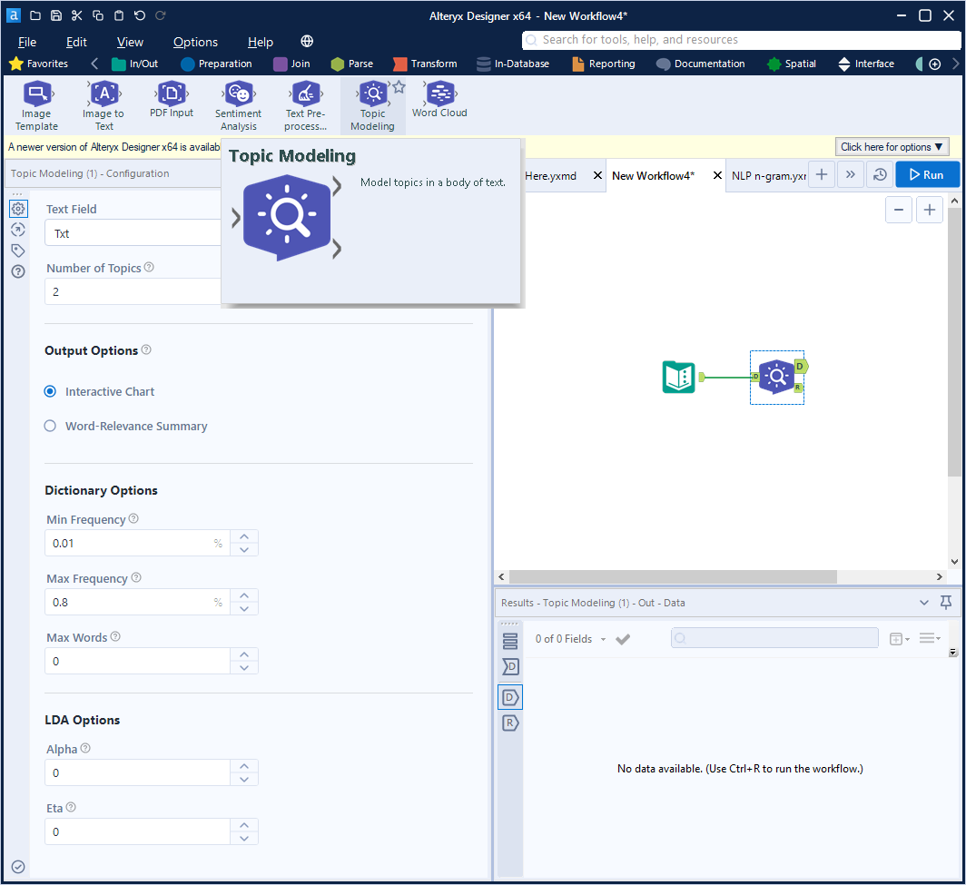
In the new Intelligence Suite tools, it would be extremely useful to have the option to add n-gram (combining words/tokens ) in the Topic Modeling Text Mining Tool.
This is important in many NLP topic modeling scenarios.
It would provide more flexibility to build better NLP models.
For details on n-gram
https://en.wikipedia.org/wiki/N-gram
I have a PDF of 27 pages and each page is identical. The headers, footers and data are static in positioning on each page. It would be great if I could define the text to parse out on the first page, then that could be used to parse out all of the pages in the PDF. It would make the tool far more useful.
Add an option to cancel an occurrence currently queued to run without it removing, or completing, the original schedule. Not sure if this is by design or a bug but when you cancel a workflow that's in queue, it sets the scheduled workflow to "Completed" even though you just wanted to stop that occurrence and still keep the workflow schedule “Active”.
Also, adding an option to PAUSE a scheduled module. This is useful when you need to temporarily suspend a workflow from running, but save the hassle of re-configuring the schedule when you want to turn it back on.
I have a big need to input files created in a .sqlite format and also write out to files as .sqlite that contain spatial object fields. Currently they are not recognized as spatial objects. BlobConvert is not able to convert the spatial fields from the input correctly (it gets close) so the result is that we are unable to utilize any spatial fields from or to these files.
In the Report Map tool, I'm locked from changing the 'Background Color' menu, and the color appears to be set to R=253, G=254, B=255, which is basically white.
However, when we use our TomTom basemap, we see that the background is actually blue, despite what's listed in the Background Color window. (This goes beyond the 'Ocean' layer, and appears to cover all space 'under' the continents and ocean.) Since we oftren print large maps of the east coast, this tends to use a lot of blue ink. I've attached a sample image to illustrate this.
My solve to-date has been to edit the underlying TeleAtlas text file and change the default background (117 157 181) to white (255 255 255). Unfortunately, we lose these changes with each data update.
Could Alteryx unlock the Background Color menu, and have it affect the 'base' layer, underneath oceans and continents in TomTom maps? Not sure how it might affect aerial imagery.
Please have Alteryx check the status of any output files for read-only or locked status. This change would prevent processing a file for an hour then having the process fail because the file was open or had improper permission.
Idealy, the output tool should ask the user what to do rather than fail and lose all the work.
When you click on 'Open results in a new window' or in when viewing results in the 'Results - Browse' sometimes it would be nice to have a freeze pane feature so you can pin column(s) to the left and scroll to the right.
I run a report generator that can leave you with having to save one at a time several files.

It would be nice to be able to save multiple files at once. Whether using a check box or a shift select method. If this method already exists, Great! Where can I find out how to do it. If not can it be an added feature?
Currently, the map input for an application defaults either to a global view of the United States or to a fixed boundary. Usng a chained application, it would be an extremely useful option to be able to specifiy spatial objects (points, lines, polygons) in the first application and then allow the second application to zoom in appropriately to those spatial objects. This could be done by either specifying a custom zoom level and using those spatial objects as a center through a reference layer, or by allowing the zoom's boundary to contain all the spatial objects (similar to the map reporting tools).
Currently, when a scheduled job is running (and logging is enabled), the log file is locked for use.
Thanks!
Example: State Code = 'MI' and Mosaic Type = 'A01' could be our Criteria. and State Code, Mosaic Type and Gender would be our crosscount fields.
Calgary crosscount (and append) would output (51 * 71 * 4) 14,484 rows (all states * all mosaic types * all gender values)
The desired crosscount would output (1 * 1 * 4) 4 rows (MI * A01 * 4).
This is a simplified example just to demonstrate my confusion when Alteryx responded to me that the tool is working as designed. In order to reduce the crosscount output, you must restate your query criteria in a filter post the calgary tool. If the count of rows output exceeds a thresshold, you can't even use the tool as it will generate too many rows.
By defining criteria in the Calgary Input tool, only the desired output records are generated. But by defining criteria in the Calgary crosscount tools, only the desired "combinations" have values plus it outputs all permutations and combinations of other non-qualifying records.
Please consider this request for an enhancement.
Thanks,
Mark
Would be nice to group workflows and their schedules because it gets confusing if you have a lot of schedules/workflows in the schedule view.
Especially if you have more than one schedule for a workflow.
One way could be to create folder system or to manage it through the meta info like macros.

I have recently been building some reports and have some suggestions for later releases of Alteryx.
1. Map tool – have option to put border around map within the properties window. Currently, I have to use a layout tool to put a border on a map.
2. Map tool – Same thing with legend (especially when legend is output as a separate field
3. All tools – be able to put a browse tool after the tool using the Properties window. I was thinking right above the “Apply” button (check mark bottom left corner)
Just some thoughts that would make life better.
The Append Fields tool will issue a Warning if/when the Source data stream has no records that reads something like this:
Append Fields (823) There are no records present in the source.
I can imagine many situations when this issue should be flagged as a Warning. However, I have use cases when both the Source and Target data streams are expected to be empty. Because it is a common, expected scenario, I do not want it flagged as a Warning for the user.
My Idea: provide another option to suppress warnings for this situation.
Perhaps it could be a standalone checkbox, for example:
[x] Suppress Warning when both source and target streams are empty
Alternatively, the tool currently has 3 options to manage warnings or errors related to "too many" records. Perhaps this could be added as a 4th option to the dropdown list, although that would necessitate changing the label slightly.
It would be helpful to redirect Help Documentation searches to the latest version number. When Googling problems I often get help page links that are for version 9.5 while I'm on version 11.7. I'll usually change the version number in the URL to get to the right documentation. It would be great if the version <11 documentation would automatically port forward to the current documentation with the option to go to older documentation for users on those versions.
Option to select start and end time per day
e.g. between 8:00 AM and 5:00 PM every 2 hours
I have records of with several address fields per store: address 1, address 2, address 3.(e.g. po box 123, 456 main st, suite 600).
I geocode each address field in different iterations, but I want my final input to contain the best geocoding level. e.g. Actual before Zip9.
Can we rank the geocoding levels like this below? Then it will be easier to filter out the best geocoding level.
- New Idea 278
- Accepting Votes 1,818
- Comments Requested 24
- Under Review 174
- Accepted 56
- Ongoing 5
- Coming Soon 11
- Implemented 481
- Not Planned 116
- Revisit 62
- Partner Dependent 4
- Inactive 674
-
Admin Settings
20 -
AMP Engine
27 -
API
11 -
API SDK
218 -
Category Address
13 -
Category Apps
113 -
Category Behavior Analysis
5 -
Category Calgary
21 -
Category Connectors
247 -
Category Data Investigation
77 -
Category Demographic Analysis
2 -
Category Developer
208 -
Category Documentation
80 -
Category In Database
214 -
Category Input Output
640 -
Category Interface
239 -
Category Join
103 -
Category Machine Learning
3 -
Category Macros
153 -
Category Parse
76 -
Category Predictive
77 -
Category Preparation
394 -
Category Prescriptive
1 -
Category Reporting
198 -
Category Spatial
81 -
Category Text Mining
23 -
Category Time Series
22 -
Category Transform
89 -
Configuration
1 -
Content
1 -
Data Connectors
963 -
Data Products
2 -
Desktop Experience
1,537 -
Documentation
64 -
Engine
126 -
Enhancement
330 -
Feature Request
213 -
General
307 -
General Suggestion
6 -
Insights Dataset
2 -
Installation
24 -
Licenses and Activation
15 -
Licensing
12 -
Localization
8 -
Location Intelligence
80 -
Machine Learning
13 -
My Alteryx
1 -
New Request
194 -
New Tool
32 -
Permissions
1 -
Runtime
28 -
Scheduler
23 -
SDK
10 -
Setup & Configuration
58 -
Tool Improvement
210 -
User Experience Design
165 -
User Settings
80 -
UX
223 -
XML
7
- « Previous
- Next »
-
 patrick_digan
on:
Disable mouse wheel interactions for unexpanded dr...
patrick_digan
on:
Disable mouse wheel interactions for unexpanded dr...
- TUSHAR050392 on: Read an Open Excel file through Input/Dynamic Inpu...
- NeoInfiniTech on: Extended Concatenate Functionality for Cross Tab T...
- AudreyMcPfe on: Overhaul Management of Server Connections
-
 AlteryxIdeasTea
m on: Expression Editors: Quality of life update - StarTrader on: Allow for the ability to turn off annotations on a...
- simonaubert_bd on: Download tool : load a request from postman/bruno ...
- rpeswar98 on: Alternative approach to Chained Apps : Ability to ...
-
caltang
on:
Identify Indent Level
- simonaubert_bd on: OpenAI connector : ability to choose a non-default...
| User | Likes Count |
|---|---|
| 25 | |
| 8 | |
| 5 | |
| 5 | |
| 5 |